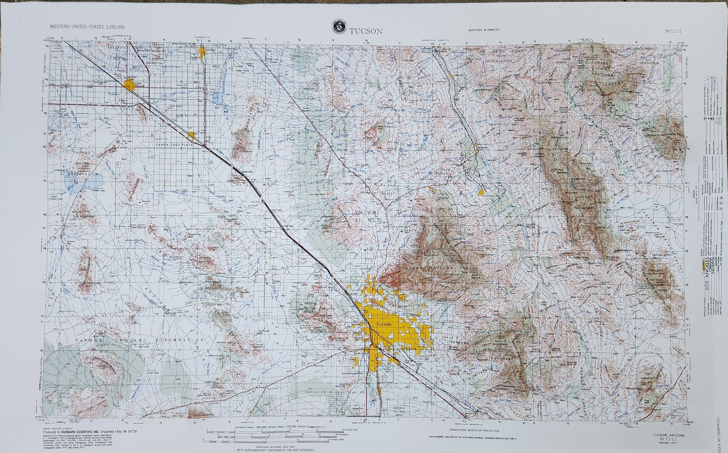
these are Raised Relief 3D Map maps showing elevation of mountains and valleys.
printed in color these striking maps make amazing gifts and looks fantastic on a wall
NCR - Natural Color Relief
USGS regional maps scale: 1: 250,000 or 1" = 4 miles
Moon map scale : 1:1,000,000 or 1" = 16 miles
US Mainland scale : 1: 6,250,000 or 1" = 100 Miles
made in the USA
Raised relief three-dimensional maps provide an unique tactile experience to map reading. Touching the maps allow you to truly understand the terrain. Whether you are using this for education or for decoration, raised relief 3D maps make a perfect gift.
How are these three dimensional raised relief maps made? Each raised relief map starts as a map printed on a flat sturdy sheet of vinyl. It is carefully registered over a 3D model that is made from USGS digital elevation model data. The vinyl is heated to make it pliable and a vacuum is created to form the map over the model. Take a look at the process below.